Our Technology
Instruments We Use
We deploy cutting-edge precision instruments to deliver accurate, reliable data on every project — no matter the scale or terrain.
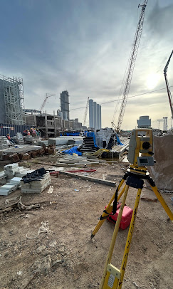
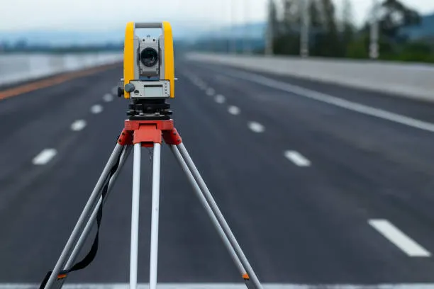
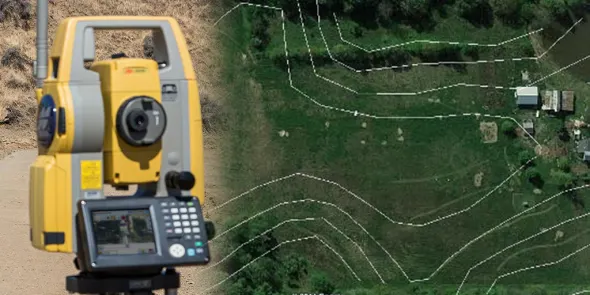
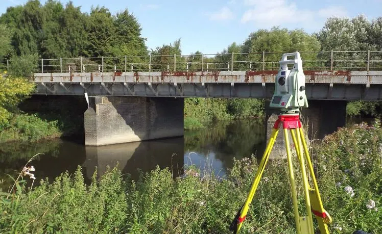
 TS
TS
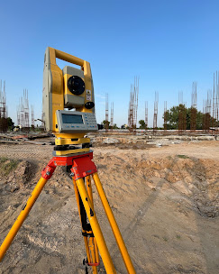
Total Station
Electronic Theodolite + EDM
Measures horizontal & vertical angles and distances simultaneously. Used for all precision layout, boundary, road, and structural surveys.
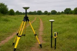
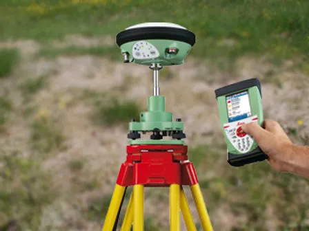
 DGPS
DGPS
DGPS
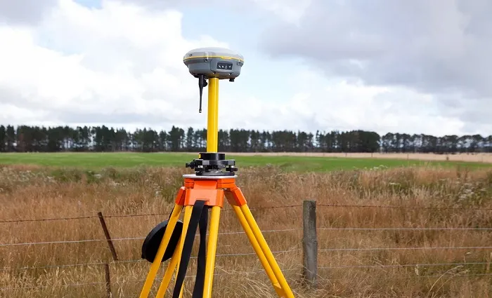
Differential Global Positioning System
Sub-centimetre accuracy GPS solution using base & rover receivers. Ideal for GCP marking, highway alignment, and large-scale mapping.
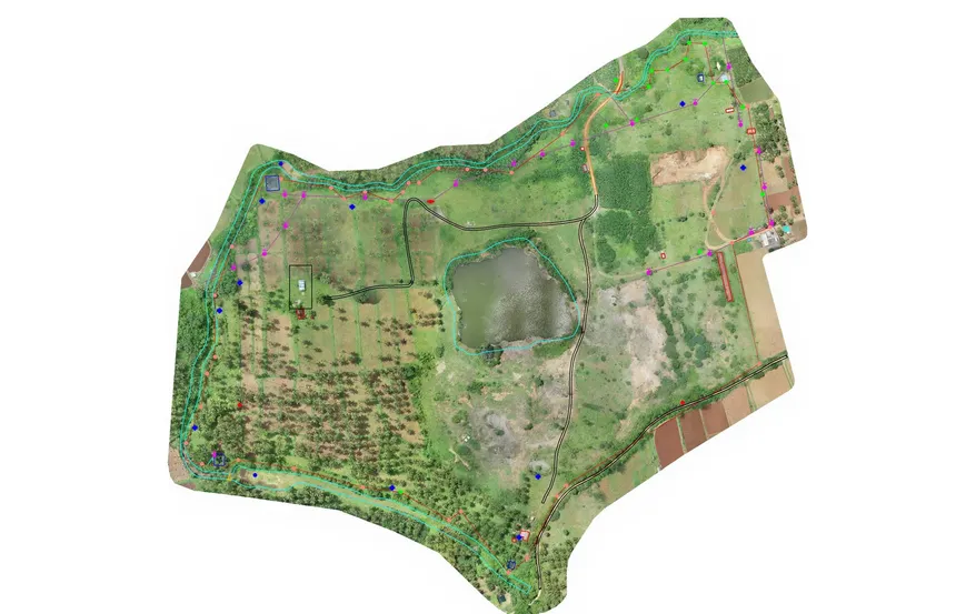
 UAV
UAV
Drone
Unmanned Aerial Vehicle
Professional survey-grade UAV for aerial photography, mapping, and 3D modelling. Generates ortho-mosaic, DSM, DTM, and point cloud data.
 LiDAR
LiDAR
LiDAR
Light Detection and Ranging
Laser-based 3D scanning technology that creates highly detailed point cloud models of terrain and structures with millimetre-level accuracy.